
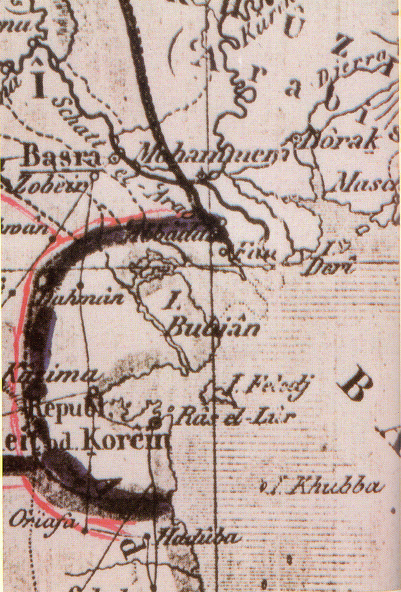
KUWAIT: The presence of Kuwait as an independent entity was documented by maps drawn by European travelers and geographers as early as the 17th century, said a Kuwaiti researcher and historian yesterday. In his book regarding the role of western travelers in documenting the presence of Kuwait through maps, researcher and historian Mohammad Mahmoud Abdulrazzaq said that maps chartered by European travelers and geographers referred to Kuwait by the names of "Khathma" and "Qurain".
Old documents, dating back to 1654, had shown that Kuwait, despite being referred to by different names, existed as an entity of an independent nature, said Abdulrazzaq. The navigational maps of the region were drawn by the Portuguese in around 1563 and also by other Europeans in the 1600s.

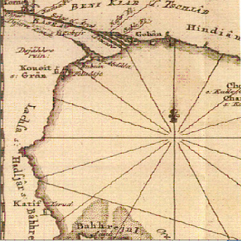
The first mention of Kuwait in name came in a map drawn by Carsten Niebuhr, a German mathematician and cartographer, in 1765. The mentioning of Kuwait continued to occur in various maps drawn in throughout the 1700s.
It is important notice that the map drawn by English traveler Gifford Palgrave-born 1826, England, United Kingdom and died in 1888, Montevideo, Uruguay-gave Kuwait a distinctive color as opposed to other regions ruled by the Ottoman Empire then.
A more thorough insight into Kuwait's distinctive nature came from British travelers who visited the region and even stayed in Kuwait in the early 1800s. Some of them stressed that the rulers of Kuwait were not affiliated with any other Empire or entity in the region during that time. - Kuna
By Sheikha Al-Loughani


